Holiday Ireland
-
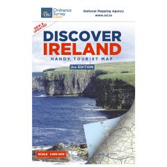
Discover Ireland - Handy Tourist MapProduct descriptionDiscover Ireland - Handy Tourist Map Learn More€3.41 €3.00
-
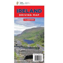
Ireland Driving MapProduct description
Featuring Easy-to-read road network with road names and distance indicators. Includes City Maps and index to cities, towns and villages. Scale 1:450,000
Learn MoreAs low as €7.38 €6.50 -
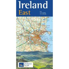
Ireland EastProduct description
Ireland East. This map covers the East of Ireland and contains detailed road information and tourist features, such as caravan parks, picnic areas and information offices. (This product is produced with the co-operation of Ordnance Survey Northern Ireland, OSNI).
Learn MoreAs low as €9.08 €8.00 -
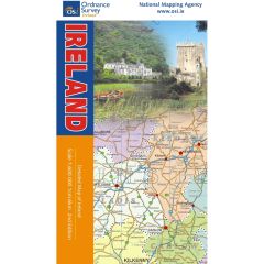
Ireland MapProduct description
Map of Ireland with counties highlighted in different colours including index to places shown on map. Folded Sheet 1:600,000
Learn MoreAs low as €7.38 €6.50 -
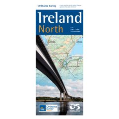
Ireland NorthProduct description
Ireland North. This map covers the North of Ireland and contains detailed road information and tourist features, such as caravan parks, picnic areas and information offices. (This product is produced with the co-operation of Ordnance Survey Northern Ireland, OSNI).
Learn MoreAs low as €9.08 €8.00 -
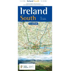
Ireland SouthProduct description
Ireland South. This map covers the South of Ireland and contains detailed road information and tourist features, such as caravan parks, picnic areas and information offices. (This product is produced with the co-operation of Ordnance Survey Northern Ireland, OSNI).
Learn MoreAs low as €9.08 €8.00 -
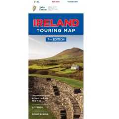
Ireland Touring MapProduct descriptionOne of our most popular maps, featuring detailed road network, holiday information, scenic routes and city maps. As a bonus this map includes distance chart and index to cities, towns & villages. Learn MoreAs low as €7.38 €6.50
-
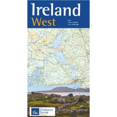
Ireland WestProduct description
Ireland West. This map covers the West of Ireland and contains detailed road information and tourist features, such as caravan parks, picnic areas and information offices. (This product is produced with the co-operation of Ordnance Survey Northern Ireland, OSNI).
Learn MoreAs low as €9.08 €8.00 -
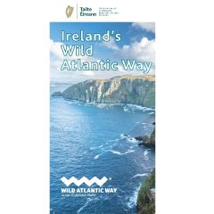
Ireland’s Wild Atlantic Way MapProduct descriptionIreland’s Wild Atlantic Way Map 1:600,000 Learn MoreAs low as €7.38 €6.50
-
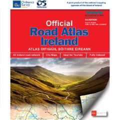 Out of stockOfficial Road Atlas IrelandProduct descriptionThe new edition of our indispensable Official Road Atlas Ireland is now in stock. Our 8th edition is published jointly with Ordnance Survey Northern Ireland and the Road Safety Authority (RSA). Key features of our latest Road Atlas include Collision Zones, Speed Detection Zones and Tolled Roads. Learn More€11.00 €11.00
 -
Visiting Ireland MapProduct description
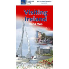
Includes an Index to places on the map and enlargements of Dublin and Belfast. Reverse side includes Tourist Information, Plan your activites information, Regions of Ireland, Road Signs and a Distance Chart.
Learn MoreAs low as €5.68 €5.00 -
Éire MapProduct description
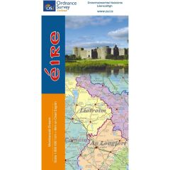
Éire Map. Map of Ireland in Irish with counties highlighted in different colours including index to places shown on map. Scale 1:600,000
Learn MoreAs low as €5.68 €5.00

