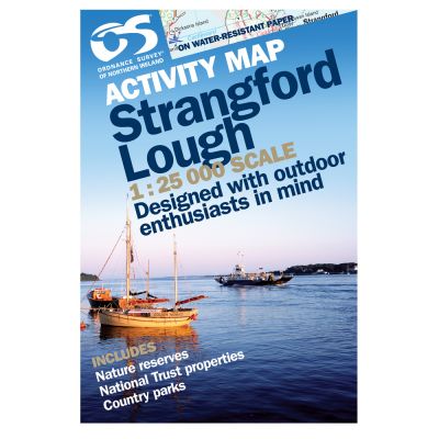
1: 25,000 scale Strangford Lough Activity Map – printed on water resistant paper – includes details useful for land-based activities, hydrological information – includes Nature Reserves, National Trust Properties, and Country Parks.
| Language | English |
|---|---|
| Licence | Paper Standard Ts & Cs |
| Method | Collection, Courier, Postal Standard, Postal Express |
| Page Size | Full Sheet |
| Scale | 1:25,000 |
| Orientation | Landscape |
| Map Name | Strangford Lough |
| DPI | 600 |
| ISBN | 9781905306275 |
| Year | 2008 |
Write Your Own Review