Limerick Street Map
Limerick Street map. A detailed map of Limerick City and surrounding area complete with street index, places of interest and City Centre extract. Scale 1:13,000
Read more...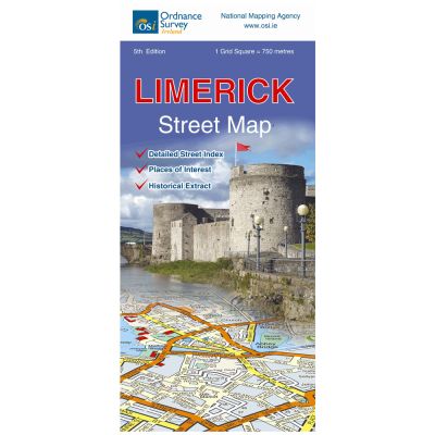
This map shows the main roads into Limerick city which include M20, M7, N18, N24, R445, R506, R526, R527, R857, R512 and R511.
The map also shows the N18 tunnel, which is tolled, connecting Coonagh and Bunlicky.
The map has a detailed enlarged insert of the city centre at a scale of 1:8,000 showing places of interest for the visitor.
The railway station, Colbert Station, is marked on the map.
This map includes Athlunkard in the north of the city down to Roxborough in the south and Annacotty in the east to Coonagh in the west of the city.
On the reverse of the map is the original 6inch Ordnance Survey Ireland map of Limerick dated 1840 with an inset : King John’s Castle extract from the 5 foot Ordnance Survey of limerick surveyed in 1870 and engraved in 1872.
There is also an alphabetical list of streets in the city included.
The River Shannon flows through the city along with the Abbey River and the Groody River and the
Limerick City marina is shown in the detailed city centre insert.
Limerick city has numerous attractions which are shown on the map.
The University of Limerick UL on the banks of the River Shannon is a major feature of the city.
| Language | English |
|---|---|
| Licence | Paper Standard Ts & Cs |
| Method | Collection, Courier, Postal Standard, Postal Express |
| Page Size | Full Sheet |
| Scale | 1:20,000 |
| Map Name | Limerick Street Map |
| DPI | 600 |
| Edition | 6 |
| Year | 2017 |