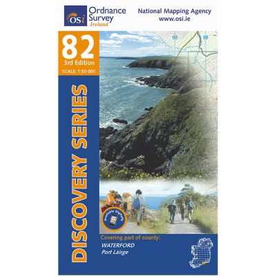
Discovery Series 82
Discovery Sheet No. 82 covers County Waterford. The Discovery Series are designed for tourist and leisure activities and are produced at the scale of 1:50,000.
Read more...The north edge of this sheet covers the southern part of the Monavullagh Mountains, which contains the highest point on the sheet, Farbreaga Mountain, at 593 metres.
Many minor rivers are shown, running south and east to the Celtic Sea: River Mahon, River Tay, Dalligan River, Araglin River, Colligan River, Finisk River, Glenshelane River, River Brickey, Goish River, Licky River (flowing west), and Ballymacart River.
There are no major islands on sheet 82. Prominent coastal features include Ardmore Head, Mine Head, Helvick Head, Dungarvan Harbour, Ballynacourty Point, Ballyvoyle Head, Bunmahon Bay, and Dunabrattin Head.
Discovery Series Sheet 82 covers the key towns of Dungarvan, Ardmore and Kilmacthomas, and shows roadway sections of the N25 and N72.
In 2017, a disused railway, running from Dungarvan to Waterford City, was opened as a major free public amenity – the Waterford Greenway. This is a superb 46km off-road cycling and walking trail featuring stunning mountain and sea views, traversing three tall viaducts, and featuring Ballyvoyle railway tunnel.
Tá an Ghaeltacht Phoirt Láirge, An Rinn, go hiomlán ar an léarscáil seo. This map completely covers the Waterford Gaeltacht of An Rinn.
It also covers the holiday centres of Clonea Strand, Ardmore, and many small, undeveloped beaches. The coastline depicted here is remarkably beautiful, especially from Dungarvan to Annestown.
This map includes the ‘Copper Coast’ UNESCO Geopark, which reaches from Ballyvoyle, near Stradbally, to Kilfarrasy which is at the eastern edge of this sheet.
| Language | English |
|---|---|
| Licence | Paper Standard Ts & Cs |
| Page Size | Full Sheet |
| Scale | 1:50,000 |
| Orientation | Landscape |
| Map Name | Sheet 82 |
| Edition | 4 |
| Year | 2022 |

