Discovery Series 03
Discovery Sheet No. 03 covers part of Counties Derry and Donegal. The Discovery Series are designed for tourist and leisure activities and are produced at the scale of 1:50,000.
Read more...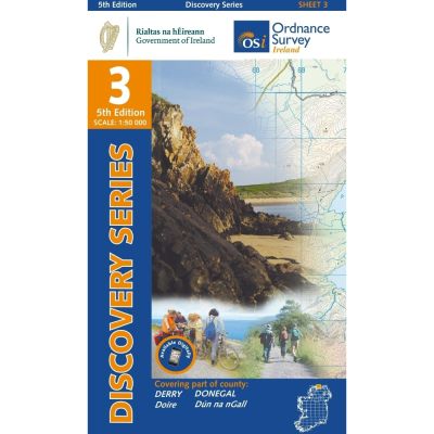
This map is situated mostly in County Donegal and features a small part of County Derry.
Malin Head is located to the North of Sheet 3 and is also the most Northerly point on the island of Ireland. The Headland is surrounded by Lough Swilly to the West, Lough Foyle to the east and the Atlantic Ocean to the North.
A number of beaches can be found on Sheet 3 such as Back Strand, White Strand Bay and even Magiligan Strand in County Derry. Inishtrahull Island also features on Sheet 3. It is the most Northerly Island of Ireland.
There is a designated waymarked walk that loops at Inishowen Head. It passes over a portion of Crocknasmug mountain. Lough Swilly is a glacial fjord, one of only three in Ireland. The Lough is famous for its wildlife-watching and the numerous shipwrecks found there. Lough Foyle is the estuary of the River Foyle.
| Language | English |
|---|---|
| Licence | Paper Standard Ts & Cs |
| Page Size | Full Sheet |
| Scale | 1:50,000 |
| Orientation | Landscape |
| Map Name | Sheet 03 |
| Edition | 5 |
| Year | 2019 |