Discovery Series 01
Discovery sheet 01 covers part of County Donegal. The Discovery Series are designed for tourist and leisure activities and are produced at the scale of 1:50,000.
Read more...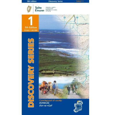
Discovery Series Sheet 1 includes an array of coastal settlements, many of which can be reached while travelling along the Wild Atlantic Way. Dunglow, Burtonport, Bunbeg, and Derrybeg all feature on Irelands West Coast. The N56 provides an excellent route north, passing along the coast before heading inland through Gweedore.
A series of beaches can be found on this Sheet including Maghery Strand, Dunmore Strand, and Ballyness Bar.
As the Atlantic Ocean has such a strong presence on Sheet 1, it features a host of islands to be seen. Aran Island, Inishbofin and Tory Island can all be viewed if travelling along the magnificent Wild Atlantic Way.
The Gaeltacht districts of Na Rosa (The Rosses), Gaoth Dobhair (Gweedore) and Cloich Chionnaola (Cloghaneely) all fall within the boundaries of Sheet 1.
This Sheet is also home to part of the Glenveagh National Park. It is the second largest national park in Ireland covering 170 square kilometres.
The Derryveagh Mountains help to give Donegal the honour of being the most mountainous county in Ulster. The mountains’ highest peak is Errigal, at 751 metres.
| Language | English |
|---|---|
| Licence | Paper Standard Ts & Cs |
| Page Size | Full Sheet |
| Scale | 1:50,000 |
| Orientation | Landscape |
| Map Name | Sheet 01 |
| Edition | 5 |
| Year | 2021 |